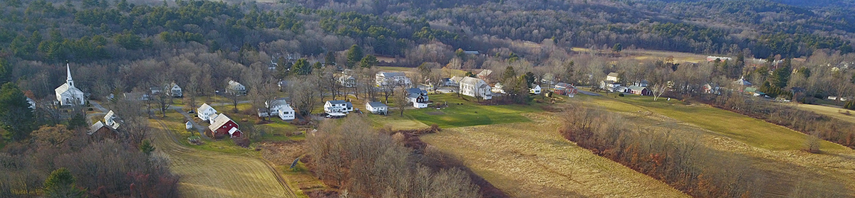
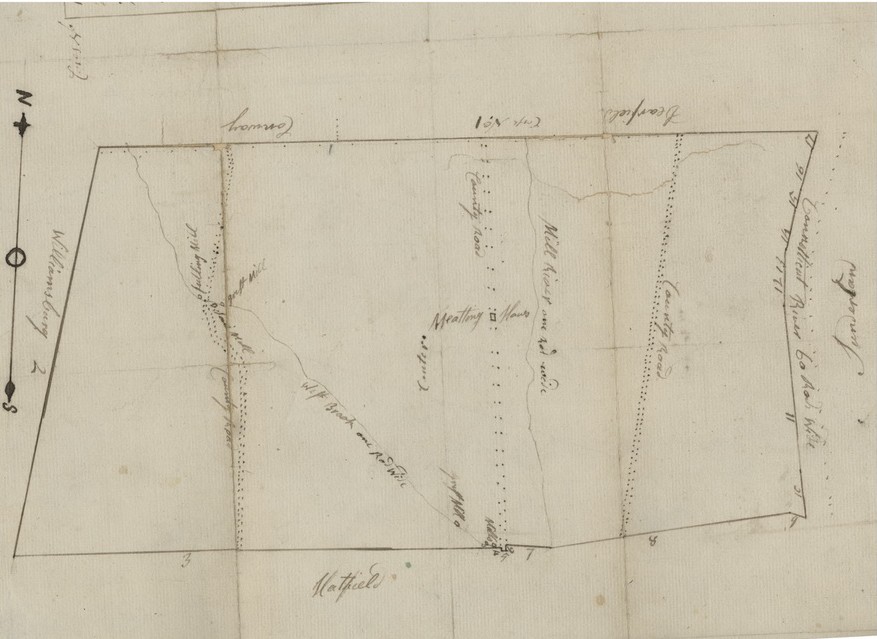
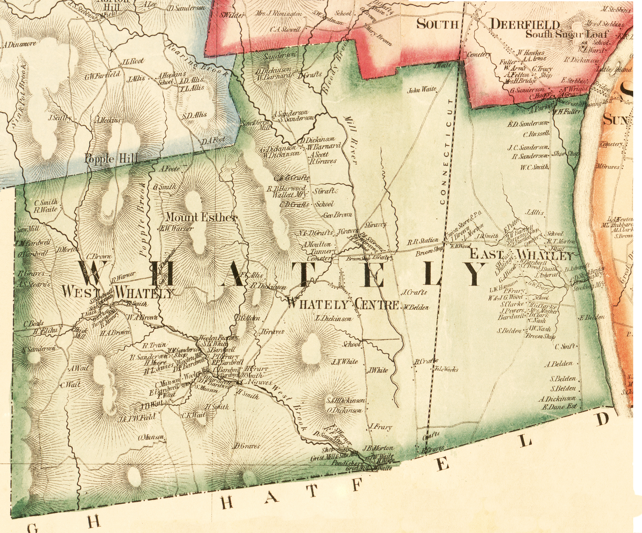
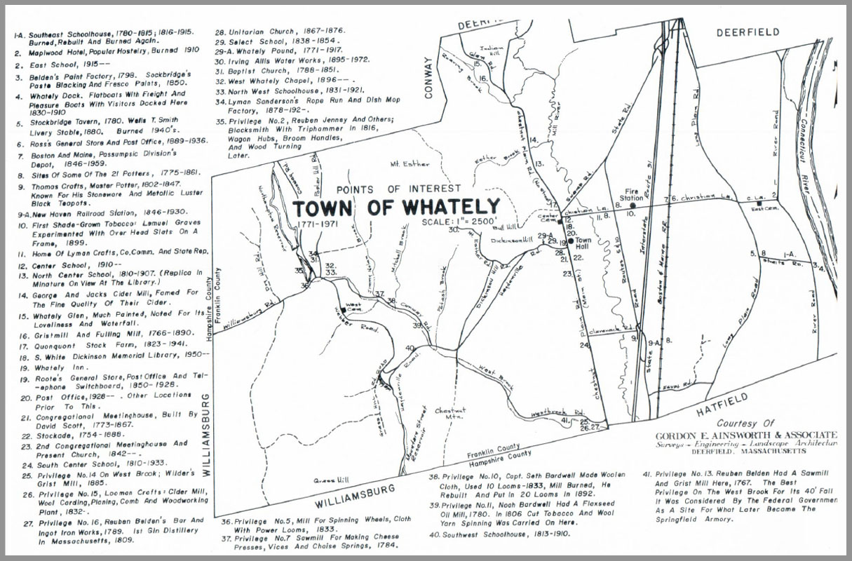
Old maps of Whately are a treasure trove of information that can not only provide information on the settlement patterns in town but help with genealogical research and historic home research. Here are a variety to tempt your curiosity.
Settlement Patterns of the Middle Connecticut River Valley showing the the changing populations in the middle Connecticut River Valley prior to and through the colonial period. Prepared by the Pocumtuck Valley Memorial Association and Memorial Museum.
Whately as I remembered it in 1880, a schematic drawing by Charles Waite in 1955 of the locations of households.
Hidden History: The Whately Historical Commission created a digital map to commemorate the Town’s 250th anniversary in 2021. The map incorporates historic documents, maps, photographs, newspaper articles, and objects of daily life to enlighten and entertain Whately residents, descendants, visitors and historians. To access the map, use this link: https://whately.org/boards_committees/historical_commission/hidden_history.php

And learn the history and location of various places in Whately with Dereka Smith’s Whately Gazetteer.